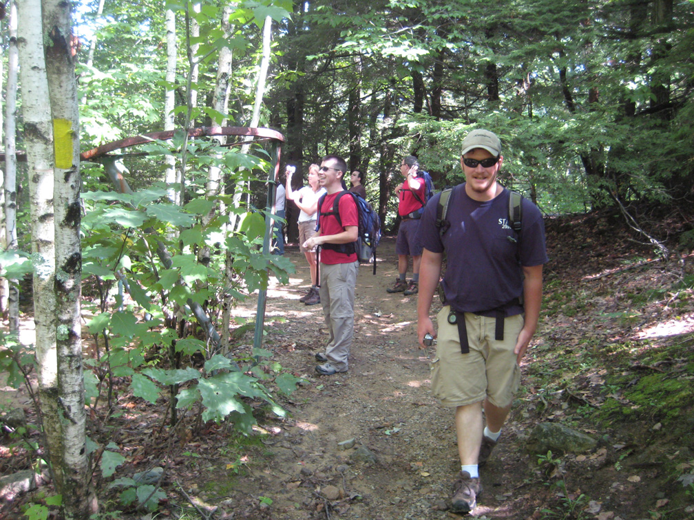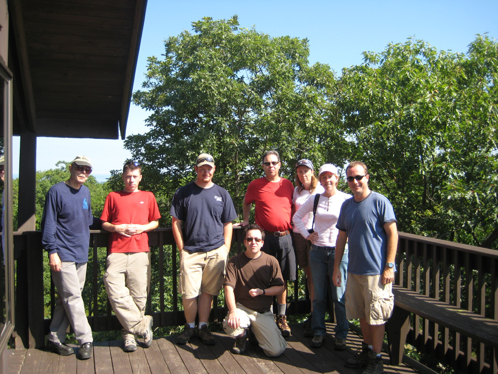
From left to right, Jim, Jeremy C, Jon, Scott (kneeling), Tom, Colleen, Debby, and Jeremy D (NELSAP).
Click on the image for the larger version.
NELSAP
Hike up Mt. Agamenticus
September 13, 2008
A great day with ski
history enthusiasts!
|
|
| NELSAP enthusiasts
joined us for a fun hike down and then up Mt. Agamenticus in York, ME on
September 13, 2008. From left to right, Jim, Jeremy C, Jon, Scott (kneeling), Tom, Colleen, Debby, and Jeremy D (NELSAP). Click on the image for the larger version. |
On September 13, NELSAP enthusiasts from around New England and the Northeast gathered to meet, hike, and explore the former Mt. Agamenticus ski area. This was the second time we did a hike here, the last was back in 2000, which was the first NELSAP hike ever.
Mt. Agamenticus is in the top three "explorable" lost ski areas. It is on public land, easy to get too, excellent views, close to the beach (makes a great split day of hiking and spending time at the ocean), has ample parking, well maintained hiking and biking trails that intersect the former ski trails/slopes, and ski area remnants galore. It was well worth exploring if you are in the York, ME area.
Mt. Agamenticus Recreation, a consortium of private, town, and state groups, has worked very hard to preserve this area. I personally have seen the area grow from having almost nobody enjoy it, to seeing it very busy, as we did on our hike. It is a beautiful area and a gem. For more info, please visit their website, which includes a hiking guide.
The following are photos from the hike. For each image, click on the photo to view the larger version.
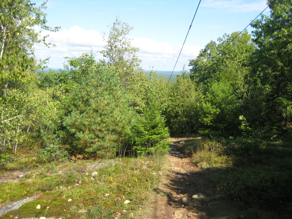
| The hike begins at the top of the former Abenaki slope, which was served by a Hall T-bar. Note the cables still hang, 35 years after the area closed. |
|
|
|
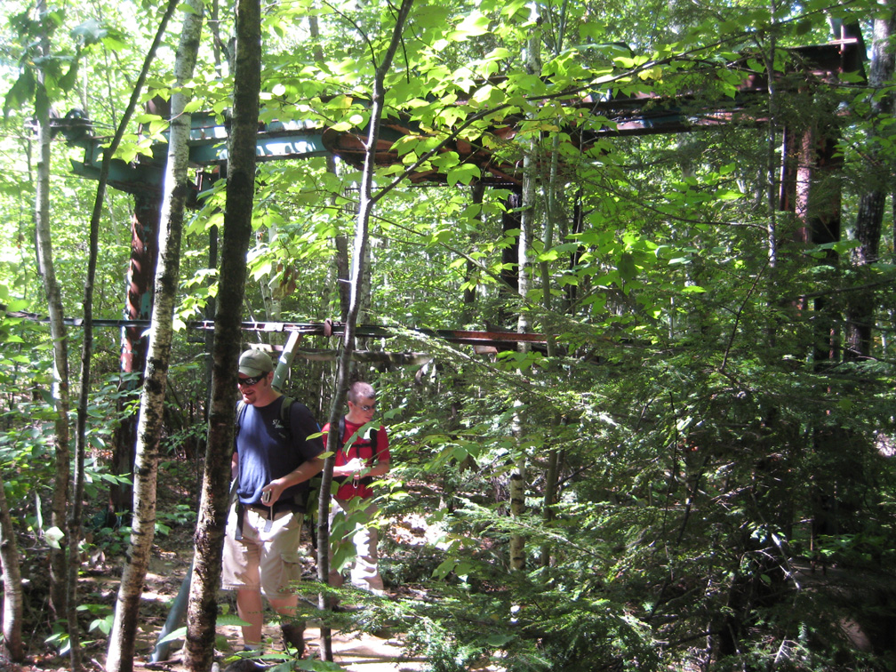
Hiking down the slope, we reached the base of the T-bar. Here, Jon and Jeremy C explore the remnants of the drive for the T-bar. |
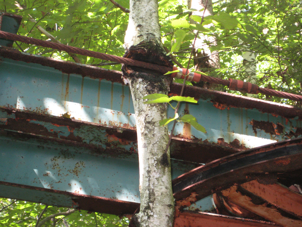
| Note that this tree has grown around the lift cable! |
|
|
|
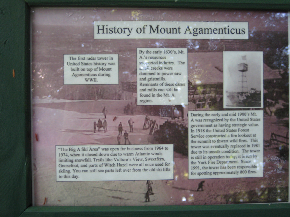
This sign, showing the former ski area, was posted at the base of the T-bar. |
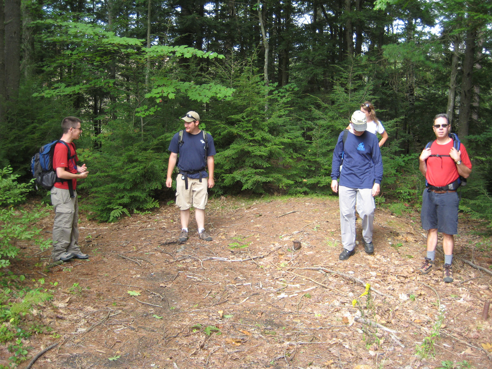
| From left to right, Colleen, Jeremy C, Scott, Tom, and Jon examine the base of the T-bar. |
|
|
|
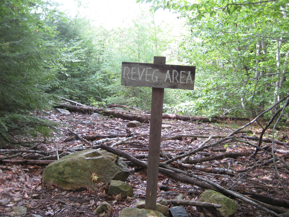
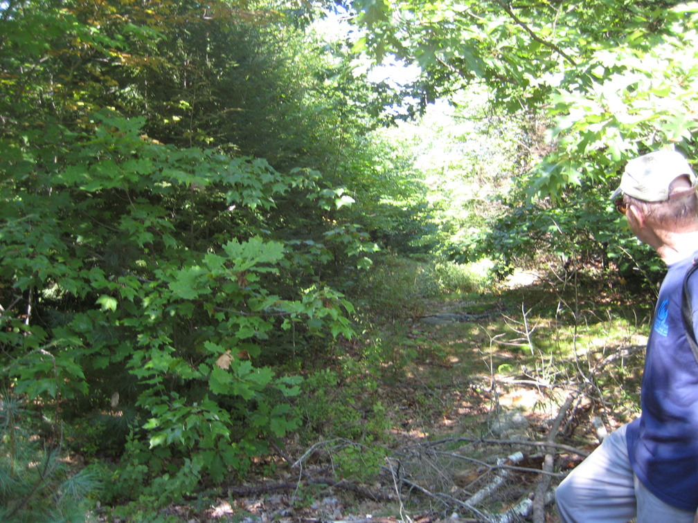
The hiking trail then descends towards the base of the ski area. It travels along, and sometimes away from, the former Wampum ski trail. Parts of this trail are heavily eroded and are being left to grow in. |
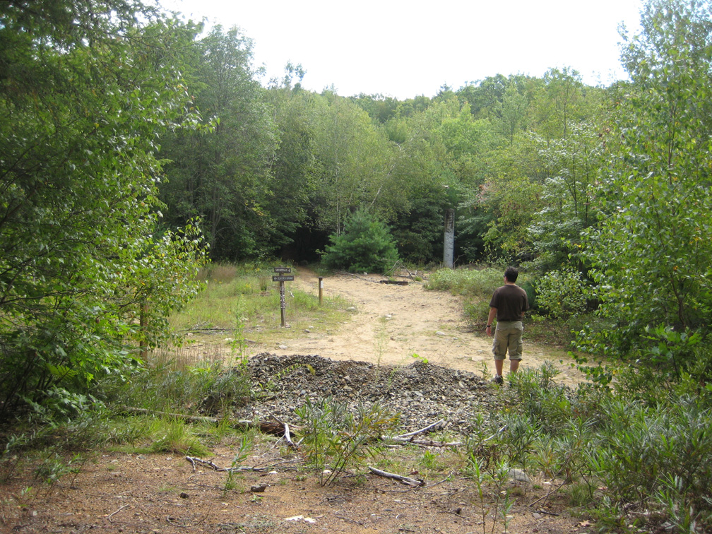
| Upon reaching the base of the ski area, we noticed this area. There was evidence of a building being here. A sink drain and toilet drain were stuck out of the ground, with a well nearby. Was this for the ski area, or something else? We are not sure. |
|
|
|
From this site, a view towards the summit. Note that there is almost no evidence of the former slopes from this view. Scott is pictured looking up the former lift line. Note the standing column. This was the part of the first tower for the double chair. |
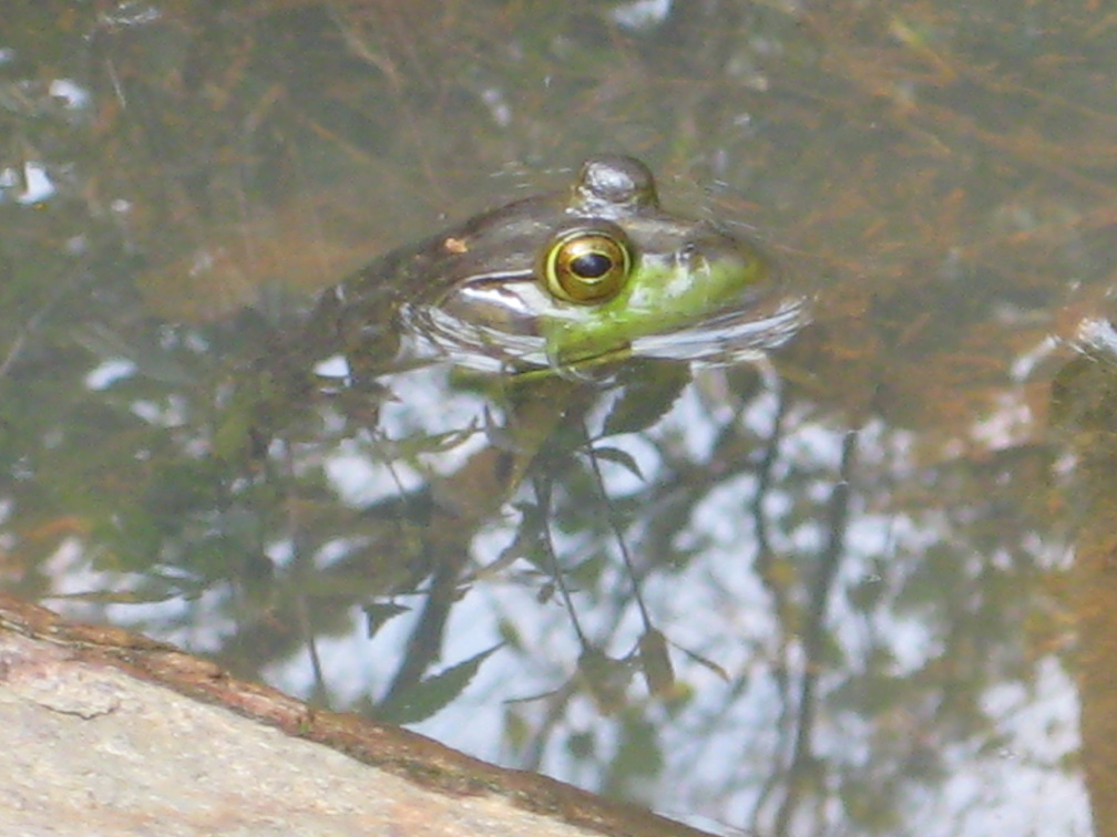
| This resident made its home in the foundation for the double chair! |
|
|
|
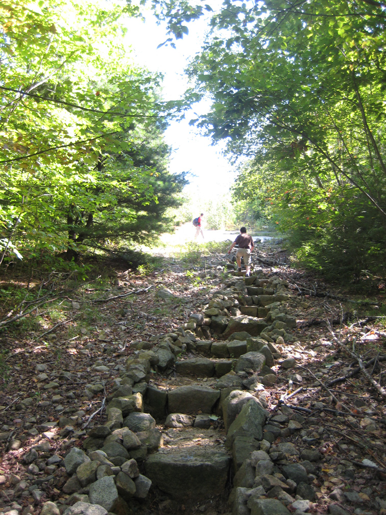
After leaving the base, we hiked up the former Kickapoo slope. Note the extensive work that has been done on this trail to make it easier to hike, and prevent erosion. |
|
Nearing the top, Jim looks down the former Killiwump trail, a narrow, short expert run. |
|
|
|
Finally, we reached the
top. Erosion has made the top of the chairlift quite open. This
foundation was the final lift tower on the double chair. We then enjoyed hanging out on the deck of the lodge, having lunch and talking lost ski areas, including with some other hikers and sightseers who were enjoying the day. |
Last updated: Sep 18th, 2008